
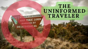
Don't let a lack of knowledge hold you back. Learn how to navigate state parks and BLM land with confidence while Overlanding as an uninformed traveler.
Introduction
Embarking on an overland camping trip without sufficient knowledge and preparation can lead to various obstacles. One common challenge is the lack of information about suitable camping locations. Uninformed travelers may struggle to find appropriate campsites with amenities and facilities. Additionally, they may be unaware of the regulations and restrictions imposed by different camping areas, leading to potential legal issues or conflicts with park authorities.
I witnessed this on a recent trip. It was 4:00 AM in Custer South Dakota. As we entered the western gate of Custer State Park, a line of cars was waiting at the entrance gate. It was an odd experience as there was no entrance fee to the park for that weekend. The travelers waiting in line expected the toll booth to open that morning so they could purchase a daily pass. I felt bad for them, knowing the booth would never open that day. They were wasting time.
If they had checked the park web page, they would have know not to stop.
A Syndrome
How could this happen to so many people? They were suffering from the Uninformed Traveler Syndrome. This seems to be a common occurrence these days as more and more of the information required for navigation through recreation experiences is moving to online platforms. There has been a significant increase in the use of web platforms by government agencies for communication with the general public. These agencies have joined the private sector in assuming and expecting users of their services to utilize the Internet to gain information and review rules and regulations.
For those of us who are seasoned travelers, we have largely adapted to the shift from print to online platforms. In the past, if I wanted to traverse the forest service and logging roads around Mt Adams, Washington in my home state, I would visit the local Gifford Pinchot National Forest office and pick up a large folding map. The map would include sensitive areas and zones where harvesting of trees, huckleberries, and native plants is allowed. Most access roads were also clearly marked. Today, those maps are still available, but road conditions, rule changes, access fees, and other information now reside online. Before any trip, I must log in and navigate their platform, looking for information related to my goals for the trip.
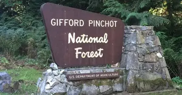
Accessing the Gifford Pinchot National Forest web page is a familiar journey for me. I know where to find the information and have become familiar with the UI (User Interface). Because there is no standard platform used for Government Agencies, I have found myself frustrated at times when navigating other sites looking for up-to-date information. For the casual traveler, or those who are technology-challenged, this kind of journey can often lead to frustration or even worse, leaving for a trip as a Uniformed Traveler. By now, you may feel I am dragging you along a trail of negativity, but stick with me a bit further to see how this situation can impact both novices and seasoned travelers.
Public vs Private Land
I recently chatted with a man who loves boondocking and exploring. He is a transplant from Maine to Colorado. He likes to explore Moab Utah. He made a profound observation about learning to travel in the Western United States.
“There is very little public land in the Northeastern United States. Coming west was a bit overwhelming to me as I was not ready to step into such vast tracks of open land controlled by government agencies”
This conversation prompted me to research the percentage of land in each state that is public vs private. The results were surprising:
US States Land Ownership by Percentage:
|
Rank |
State |
% that is Public Land |
% that is Private Land |
|
1 |
AK |
95.8% |
4.2% |
|
2 |
NV |
87.8% |
12.2% |
|
3 |
UT |
75.2% |
24.8% |
|
4 |
ID |
70.4% |
29.6% |
|
5 |
OR |
60.4% |
39.6% |
|
6 |
AZ |
56.8% |
43.2% |
|
7 |
WY |
55.9% |
44.1% |
|
8 |
CA |
52.1% |
47.9% |
|
9 |
NM |
47.4% |
52.6% |
|
10 |
CO |
43.3% |
56.7% |
|
11 |
WA |
41.9% |
58.1% |
|
12 |
MT |
37.5% |
62.5% |
|
13 |
NY |
37.1% |
62.9% |
|
14 |
FL |
29.2% |
70.8% |
|
15 |
MI |
28.1% |
71.9% |
|
16 |
MN |
23.5% |
76.5% |
|
17 |
HI |
19.0% |
81.0% |
|
18 |
NJ |
18.3% |
81.7% |
|
19 |
NH |
18.0% |
82.0% |
|
20 |
WI |
17.8% |
82.2% |
|
21 |
AR |
17.3% |
82.7% |
|
22 |
VA |
17.1% |
82.9% |
|
23 |
WV |
16.5% |
83.5% |
|
24 |
PA |
16.1% |
83.9% |
|
25 |
VT |
15.8% |
84.2% |
|
26 |
NC |
14.6% |
85.4% |
|
27 |
TN |
14.1% |
85.9% |
|
28 |
KY |
11.8% |
88.2% |
|
29 |
SC |
11.8% |
88.2% |
|
30 |
MO |
11.2% |
88.8% |
|
31 |
MS |
10.9% |
89.1% |
|
32 |
LA |
10.7% |
89.3% |
|
33 |
GA |
9.7% |
90.3% |
|
34 |
ND |
9.1% |
90.9% |
|
35 |
SD |
8.9% |
91.1% |
|
36 |
MD |
7.6% |
92.4% |
|
37 |
DE |
7.4% |
92.6% |
|
38 |
AL |
7.1% |
92.9% |
|
39 |
MA |
6.3% |
93.7% |
|
40 |
CT |
6.2% |
93.8% |
|
41 |
ME |
5.7% |
94.3% |
|
42 |
OK |
4.6% |
95.4% |
|
43 |
IN |
4.5% |
95.5% |
|
44 |
OH |
4.2% |
95.8% |
|
45 |
TX |
4.2% |
95.8% |
|
46 |
IL |
4.1% |
95.9% |
|
47 |
IA |
2.8% |
97.2% |
|
48 |
NE |
2.8% |
97.2% |
|
49 |
KS |
1.9% |
98.1% |
|
50 |
RI |
1.5% |
98.5% |
|
USA |
39.8% |
60.2% |
The enclosed chart was sourced from www.summitpost.org
As you can see, the percentages vary greatly with a low of less than two percent in Rhode Island to over 95 percent in Alaska. This wide variation in ownership and control contributes to the challenges faced by those of us who value traveling in the open wilderness.
To some degree, those of us who reside in the West, are more comfortable navigating the maze of rules surrounding public land management vs. those from other countries, or those residing in eastern sections of the United States where public land is rare.
Who Governs the Land?
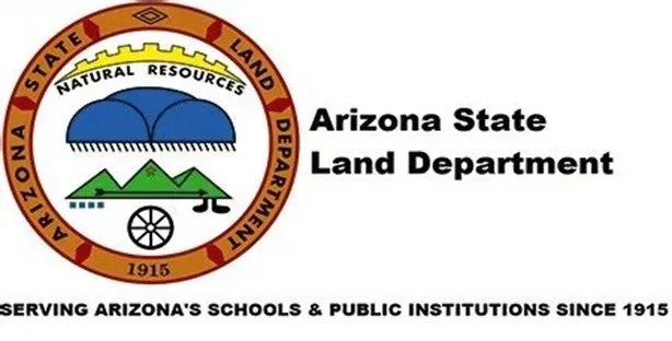
Once we establish how much land in a state is public, the next step is to understand who governs that land. One example of how crazy this question gets is when we visit the land surrounding Quartzite, Arizona. There are sections of land inside the city limits of Quartzite that are controlled by the Arizona State Land Department. They require the purchase of a land use permit as follows:
Individual Permit: An Individual Permit is $15 and grants a single person access to State Trust land for certain types of recreational activities including camping, bicycling, bird watching, GPS-based recreational activities (geocaching), hiking, horseback riding, off-highway vehicle (OHV) usage, photography, picnicking, and sightseeing. Recreational Permits purchased online will be charged an additional $1 convenience fee. Alternatively, Recreational Permits may be purchased in person at the Arizona State Land Department Office, located at 1110 West Washington Street in Phoenix.
Driving Northwest from Quartzite you will end up in Parker, Arizona. Parker lies inside the boundaries of the Colorado River Indian Tribes Reservation. The open land along the river is managed by the tribe. They require the purchase of a daily use fee permit costing $15 per day.
Just north of Parker, you will enter BLM land. The BLM has a different set of rules for use and camping. All of the area just described is within a zone that can be traversed by car on paved roads in less than 45 minutes.
Understanding the Language
Most of us live in a world filled with acronyms. We all laugh at the way American Business has adapted abbreviations to define tasks, features, and even diseases. In the same way, each industry and or segment of society is defined by its language and acronyms, we also must understand and accept that when reading the rules and regulations regarding wilderness areas, various agencies also carry on with a secret code when defining things.
The BLM uses a Back Country Byways system with access roads that lead to remote areas. Some are passable by car, but many are only accessible by high-clearance vehicles. Familiarize yourself with the four types of designated byways to help you safely navigate public lands. Know ahead of time which type of roads work with your vehicle and camper setup.
Type 1 byways are paved or have an all-weather surface to accommodate standard cars.
Type 2 byways typically aren’t paved, but do have some type of surfacing, and require high-clearance vehicles.
Type 3 byways require four-wheel drive or all-terrain vehicles (ATV) to handle grades, tread surfaces, and non-surface roads.
Type 4 byways are typically single-track paths that can accommodate dirt bikes, mountain bikes, snowmobiles, or ATVs.
Seems simple enough until you read this language from the Federal Highway Administration website:
America's Byways®
is the umbrella term for the collection of 184 distinct and diverse roads designated by the U.S. Secretary of Transportation. America's Byways include National Scenic Byways and All-American Roads.
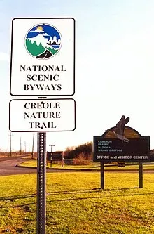
National Scenic Byway
To be designated as a National Scenic Byway, a byway must meet the criteria for at least one of six "intrinsic qualities": archeological, cultural, historic, natural, recreational, and scenic. The features contributing to the distinctive characteristics of the corridor’s intrinsic quality are recognized throughout the region and are considered regionally significant.
Simply put, we must take responsibility to understand the terms and words utilized by various agencies and seek clarity if there is any confusion. The danger in assuming we understand their definitions can come into play in some very uncomfortable ways.
Case in point: Eric Hanson is the host of Epic Trails, a TV and digital series designed to showcase the people, places, and adventures that surround the world’s top backpacking trails. He hosts a YouTube Channel and Backpacking TV. Eric is a seasoned hiker and is well-traveled around the world.
This is a brief overview of an event that can be fully explored on his YouTube Channel. He and his crew were filming an episode along the north rim of the Grand Canyon. One member became ill and they needed to exit the park, seeking medical attention for the stricken member. They camped at a trailhead and summoned help. After the member was removed via ambulance the local ranger warned them about camping out of bounds and demanded they move their tents.
They were directed to move to a store a mile down the road. They mistook a gas station/ mini mart for the store. The next day they were cited for camping out of bounds, as the store they were supposed to camp at was another 200 yards away.
Eric admitted it was an honest mistake. He and the Ranger disagreed on the definition of camping out of bounds. He ended up in court.
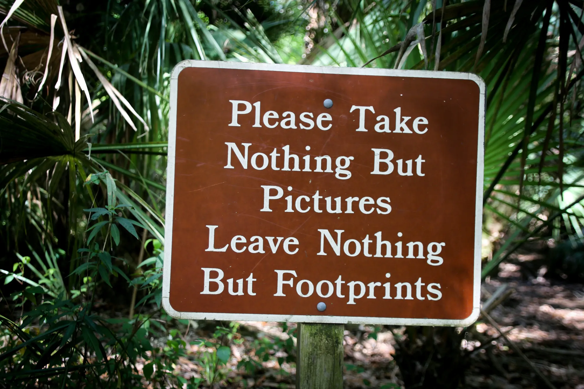
One of the most misunderstood terms is Dispersed Camping. Dispersed camping does not mean camping anywhere, and that can be unclear. You are never allowed to make new roads/paths or drive in undeveloped areas. Fire rings are one of the best indicators of designated campsites; however, if there is no clear vehicle path to the fire ring, you may camp there, just keep your vehicle in a clearly used area. Don’t drive off the trail.
The BLM web page has a Know Before You Go section. This is a great resource for overlanding and should be checked regularly as rules can and do change. Since the BLM is one of the largest land managers in the United States, it is likely any trip will traverse at least one section of land managed or controlled by this agency.
The Pressure and Why?
The BLM is under great pressure from environmental groups.
This is evidenced by two recent examples.
1. The Bureau of Land Management has approved a plan to close hundreds of miles of off-road driving trails outside Moab, Utah, capping a yearslong fight between environmental groups, off-roaders, and the federal government over trail access in the region. The new plan will shutter 317 miles of OHV routes across the spectacular Labyrinth Canyon and Gemini Bridges area just west of Moab, including a handful used during the annual Easter Jeep Safari event, to protect the sensitive desert landscape.
2. In March, the agency unveiled a sweeping proposal to establish a framework for “conservation leases” that places a newfound priority on preservation. The new Public Lands Rule presents a radical departure from the “multiple use mandate” Congress outlined for the agency in the Federal Land Policy and Management Act of 1976 (FLPMA).
If you are following the trend, you have discovered that the continued pressure from conservation groups is causing a fundamental shift in land use. Under the umbrella of conservation, the changes to Moab are an example of what is likely to continue as a trend. This changes how we choose our trips, our pathways, our preferred roads to travel as well as how we camp or enjoy those wilderness areas once we arrive.
The BLM is not the only agency making radical changes. Recently the ORV areas around Bend Oregon faced closures. Due in part to the following event:
U.S. Forest Service law enforcement officials reached out for the public’s help Monday to find whoever recently vandalized some rock art pictographs west of Bend.
The vandalism to tribal pictographs in the undisclosed area was recently discovered and appears to have happened within the past month, Deschutes National Forest Public Information Officer Jean Nelson-Dean said.
In that same area, the annual gathering of Public Lands Cleanup in Bend Oregon where a group of volunteers removes trash and debris from the area. In 2022 they removed tons of trash including dozens of stolen cars that were driven into the desert, stripped, and left to be vandalized. Many of the access points around that area are now blocked to reduce the opportunity for vehicles to be taken into what has been a pristine off-road area. The total for the cleanup event was:
Vehicles- 96,000 lbs.
Dump runs- 10,000 lbs.
Tires/Hazmat- 1700 lbs.
There are stories like this popping up in every state. The land is being damaged by people who cannot remain on trails, and are vandalizing sacred areas. All of us have come across remote areas where mining camps and other remnants of previous human activity existed only to find them covered with spray paint and damaged by miscreants.
In Arizona, law enforcement has now instituted a zero-tolerance policy for people camping in remote areas of BLM land who are violating the 15-day limit.
Many rangers are being instructed to strictly enforce rules due to growing abuses by a minority of people.
This is shared only to point out that the growing frustration inside agencies in managing open land has unfortunately pushed many agencies to become intolerant of anyone breaking a rule. I have quotes from rangers and managers inside BLM that have stated that in the past, their agents were given the freedom to issue verbal warnings when it was clear the rule-breaking was unintentional and the people in question appeared to be responsible.
We have entered into a new season. A season where the agencies expect us to keep up to date by mastering all the web pages governing our travels and to abide by those rules.
If we enter into the zone of the Uniformed Traveler, we will likely suffer the consequences created by disrespectful and ignorant people. It therefore is our responsibility to keep informed, keep vigilant, and understand that the various agencies we encounter are likely stressed out because of these events.
Conclusion
The landscape of public land management is changing rapidly. Those of us who have traveled for years risk becoming complacent and assuming we have a good grasp of the rules.
Those who are new to overlanding are at risk of taking information and guidance from others without validating the accuracy of that information. In the end, if you make an error, the person providing the advice and guidance is not liable, you are. The enforcement agents hold the violator responsible, not their trusted advisors.
Overlanding is an enjoyable adventure for us most of the time. To travel well and enjoy our travels, we must invest some time in researching the rules for the area we plan to travel.
A well-planned trip is a joy, affording us the adventure we see without the drama.
Safe and Informed Travels
Howard Turner