

Where is it? Take State Route 706 towards the small town of Ashford and the entrance to Mount Rainier National Park.
Where is it?
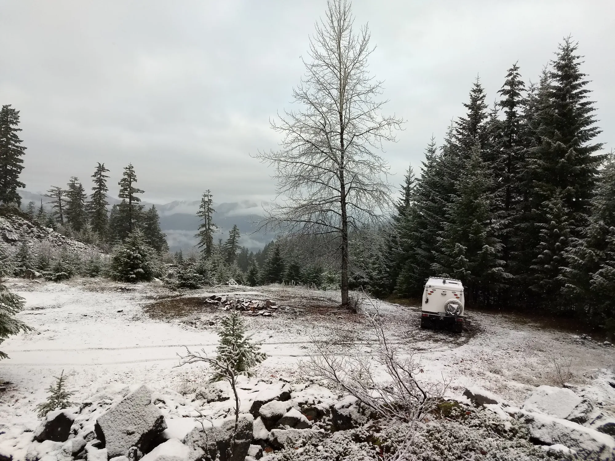
Take State Route 706 towards the small town of Ashford and the entrance to Mount Rainier National Park. 2 miles after Ashford you want to take a right onto Kernahan Road. Follow this road for about 1.5 miles and it will curve to the left and become Skate Creek Road. Follow Skate Creek Road another 3.5 miles and take a right turn onto Forest Service Road 84. Stay on FR-84 for 6.5 miles staying right when it forks. You will now be on FR-8440 which you want to continue for about 2.5 miles until the road levels off and there is a parking area for 10-12 vehicles. This is Towhead Gap and is at an elevation of 4300 feet. Park here and at the time of this post a pass was not required.
The Start
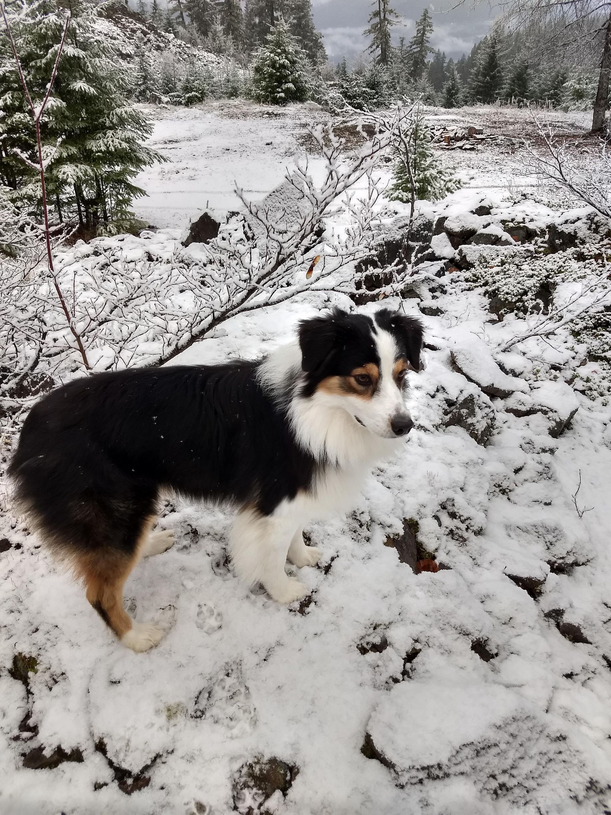
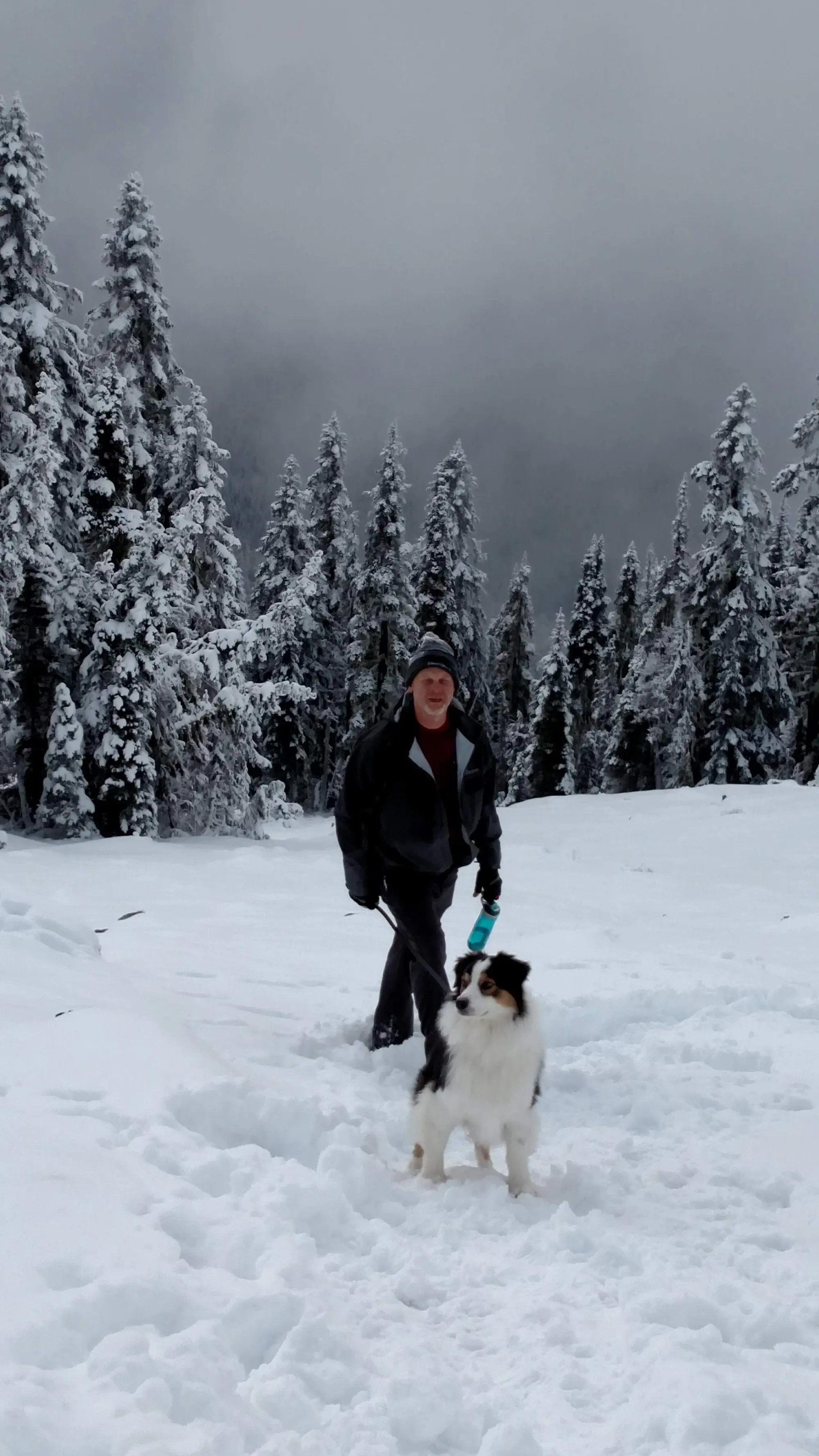
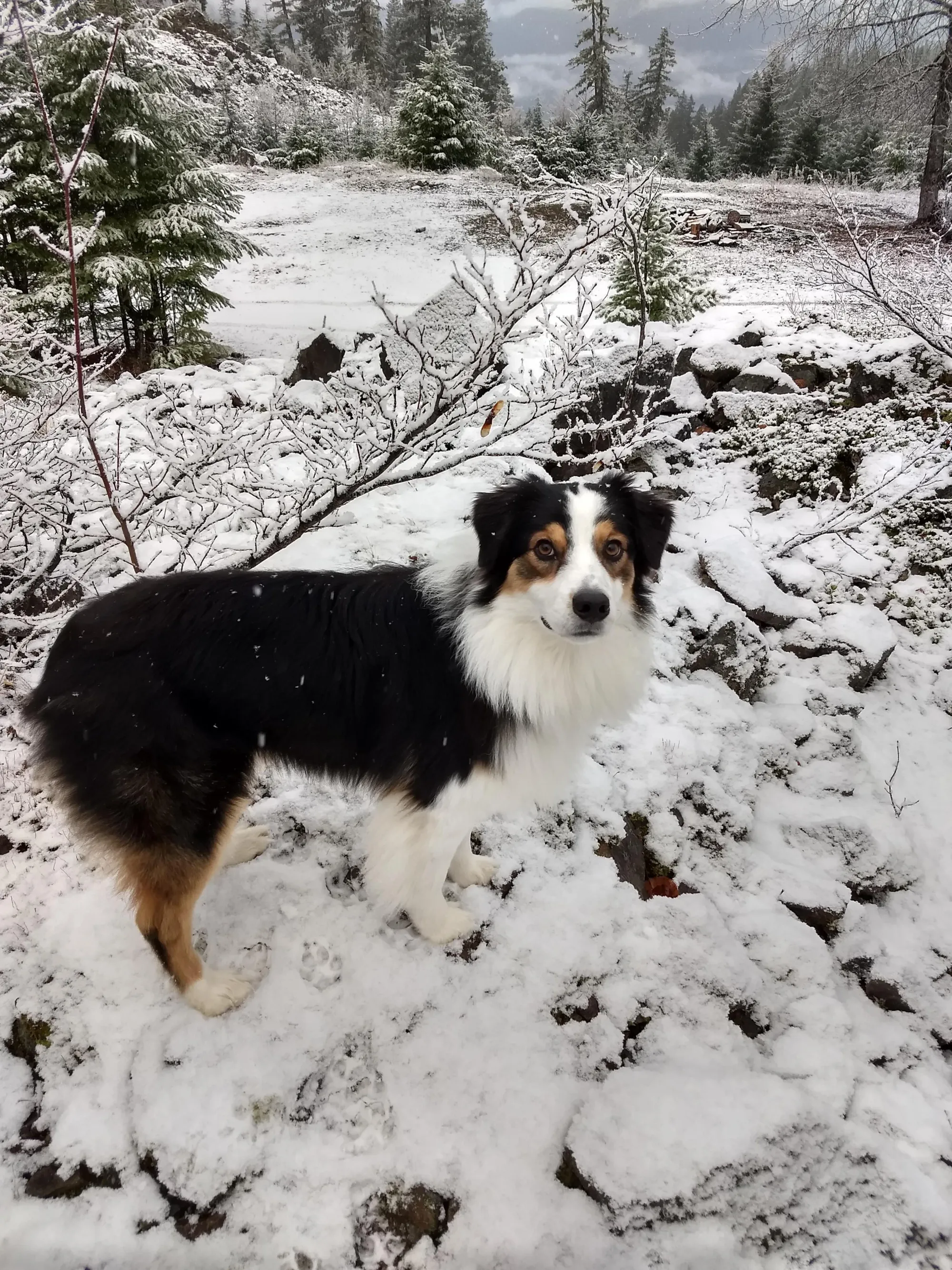
We decided to try this hike in the middle of winter. We were in the area testing our new EarthCruiser in the snow and had always wanted to go to the Lookout. As we approached the trail, there were about 12 inches of snow on the ground at Towhead Gap and the parking area. We put on our coats, hats, and gloves, filled our water bottles, and leashed Riley (our Australian Shepard). After lacing up our snow boots, we headed up the hill.
The Trail Up
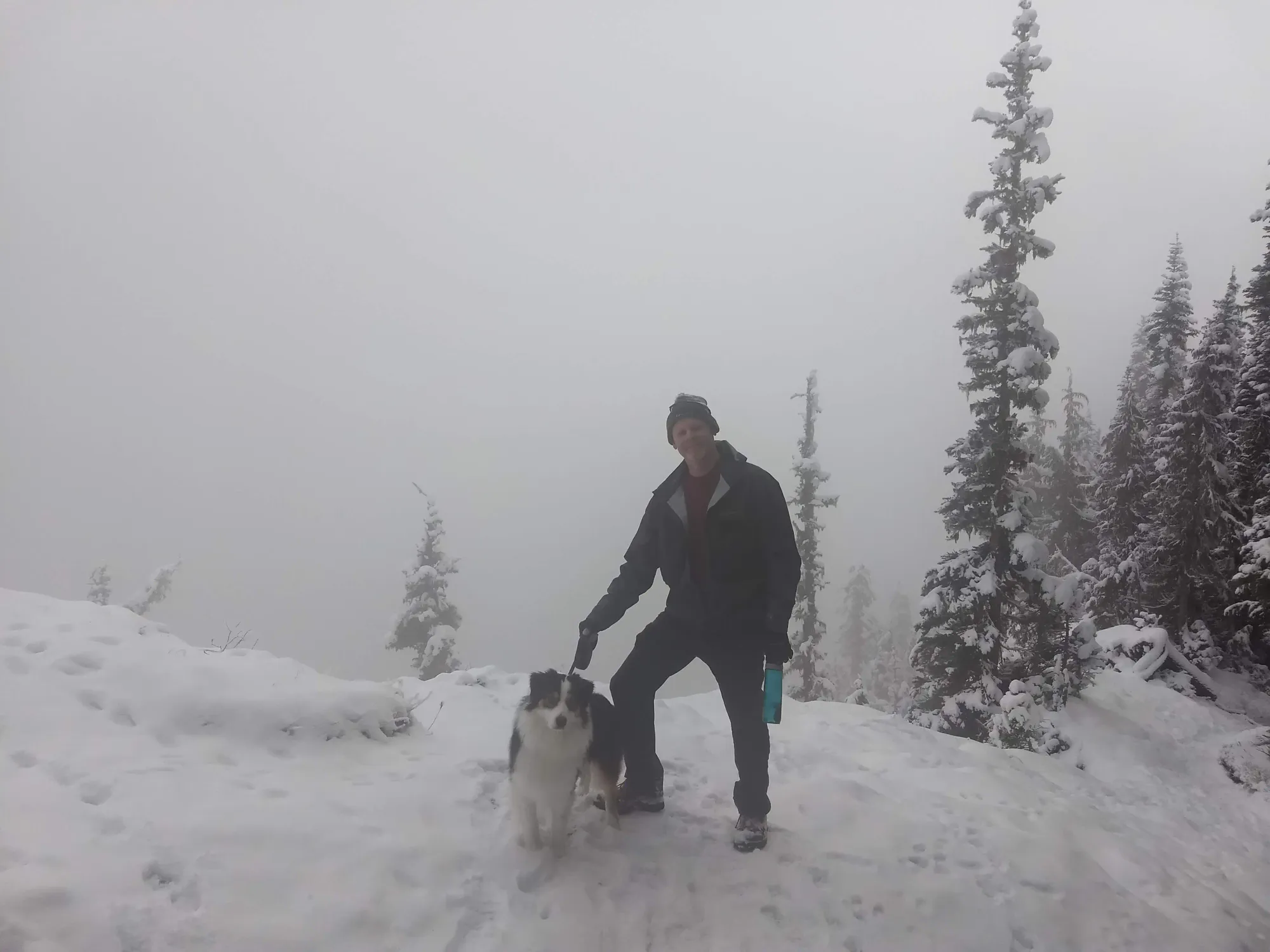
The trail up is short but moderately steep. You will gain about 1300 feet in elevation in the short 1.6 miles to the summit. The trail number is 266 and was in good shape on our hike as even in winter, plenty of people take this hike. The trail follows the ridgeline of Sawtooth Ridge and there are a couple of viewpoints like the picture above. Most of the trail is under the canopy of trees and would be well-shaded in the summer.
The Pillar
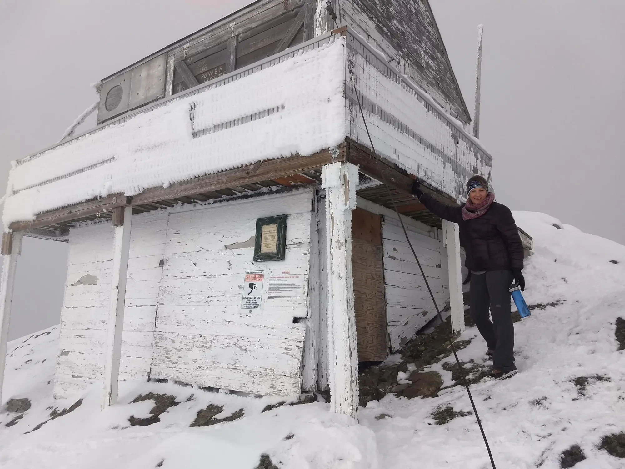
The last 1/4 mile of the trail comes out of the tree canopy. It is here that you get your first good look at the Lookout. The trail is steep here and traverses a rock/boulder field. As you get closer to the Lookout, you see just how much of a cliff it sits on. In the video below, you can't see much more than clouds but we are on the edge (probably closer than we should have been). The drop-off is about 600 feet but allows views of the surrounding area on a clear day. This spot will give you one of the best views and photo opportunities of Mt Rainier.
I looked over the edge and saw nothing but clouds going by, it was at this point I wondered if I had stepped to close to the edge. It was hard to tell with all the snow but I remember not staying out on the edge for long
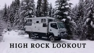
High Rock Lookout
The lookout was built in 1929 as a fire lookout. It was manned in the summer months for many years. Shortly after we made our hike, the lookout was taken down and is being restored. You can get more information here

Final Thoughts
High Rock Lookout and Trail 266 are worth the drive. It's a popular hike so there will be people around if you need help. Bring plenty of water and snacks and pack out what you bring up. There are a couple of benches along the trail to rest and usually the temperatures in the summer are mild. As with any high mountain hike, come prepared for all kinds of weather as it can change very quickly.
Thanks for coming along with us,
Brent and Cheryl Conklin
Whiskey 7 Backroads